Original: $10.22
-65%$10.22
$3.58The Story
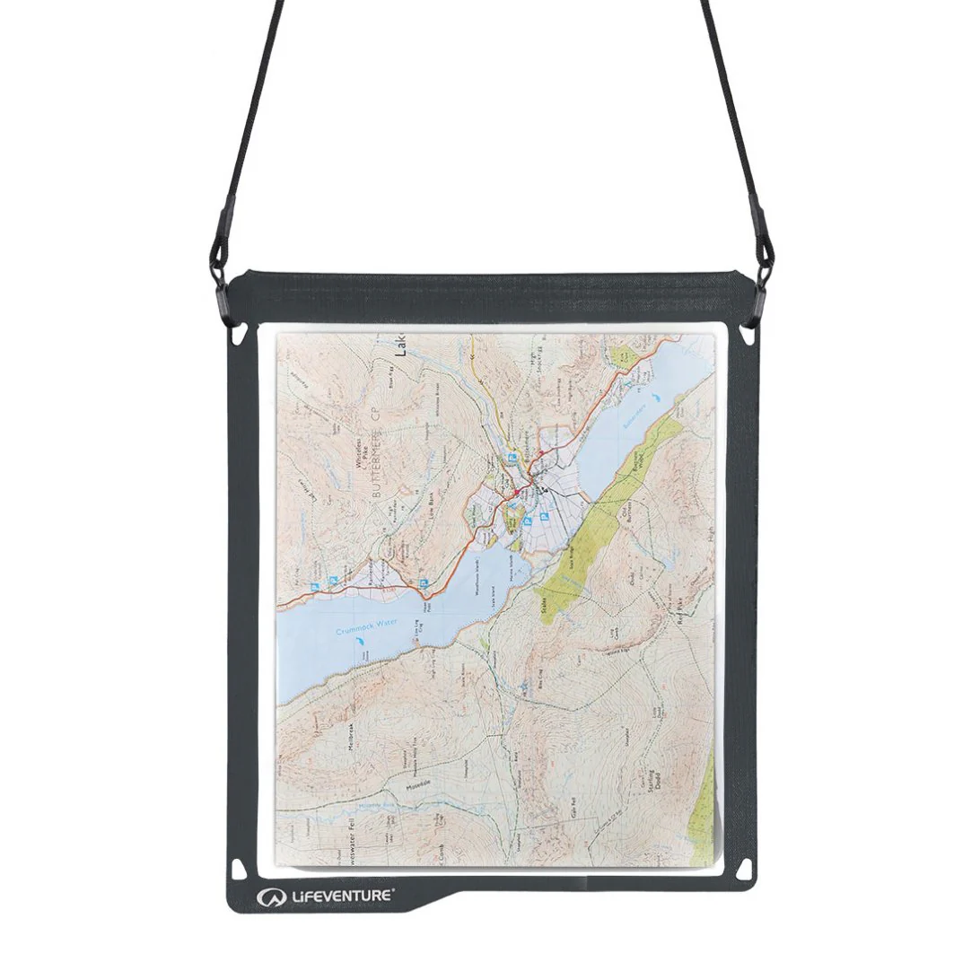
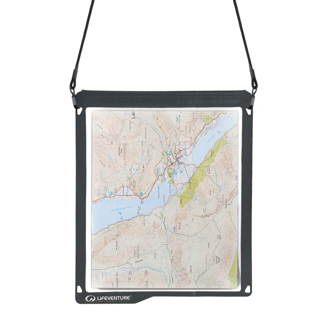
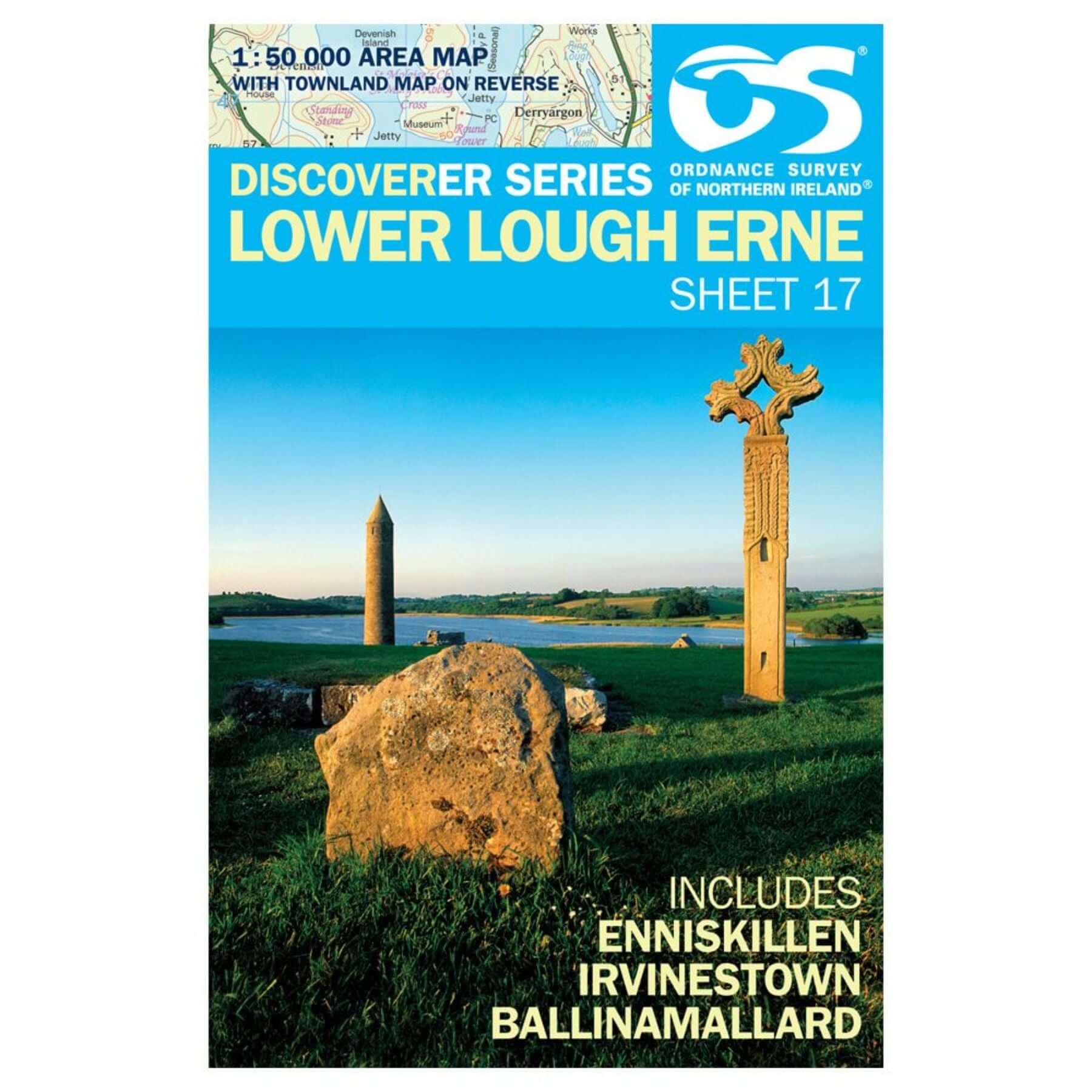
The Discoverer series are designed for tourist and leisure activities. Each one covers an area of 40km x 30km at the scale 1:50,000. There are 93 sheet in the series. 75 are produced by Ordnance Survey Ireland and 18 by Ordnance Survey Northern Ireland. The maps maps produced by Ordnance Survey Ireland are called the Discovery Series. Discoverer Sheet No. 17 covers Lower Lough Erne and includes Enniskillen, Irvinestown and Ballinamallard.

Details & Craftsmanship
Every detail has been carefully considered to bring you the perfect product.
Description
The Discoverer series are designed for tourist and leisure activities. Each one covers an area of 40km x 30km at the scale 1:50,000. There are 93 sheet in the series. 75 are produced by Ordnance Survey Ireland and 18 by Ordnance Survey Northern Ireland. The maps maps produced by Ordnance Survey Ireland are called the Discovery Series. Discoverer Sheet No. 17 covers Lower Lough Erne and includes Enniskillen, Irvinestown and Ballinamallard.