Original: $27.87
-65%$27.87
$9.75The Story
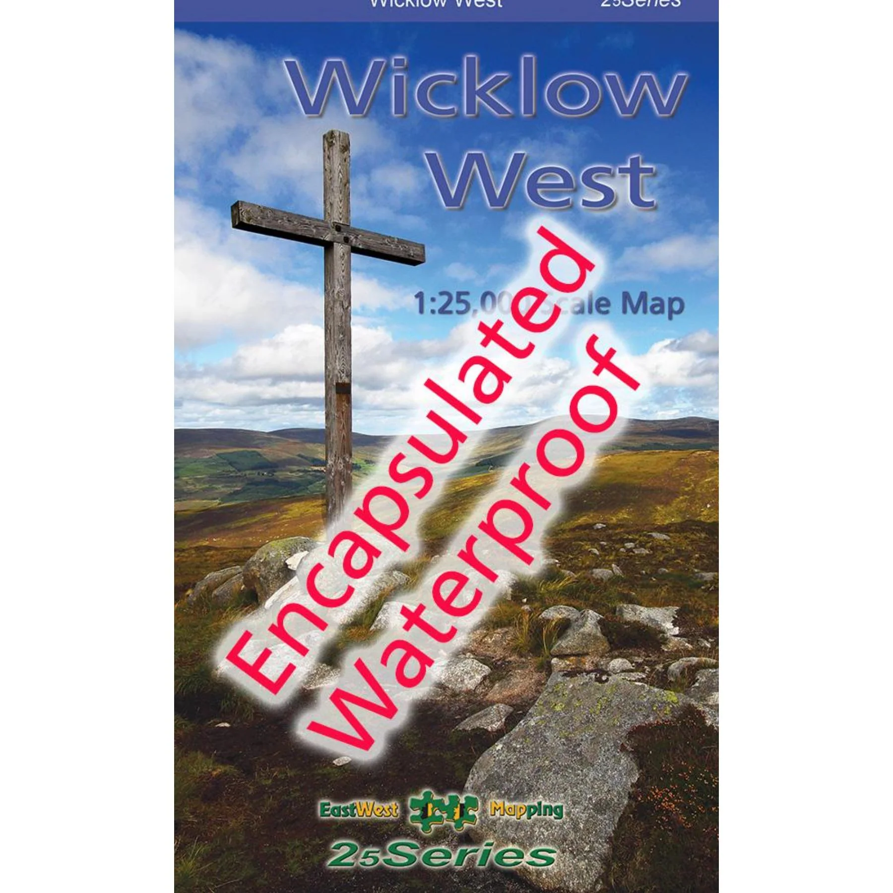
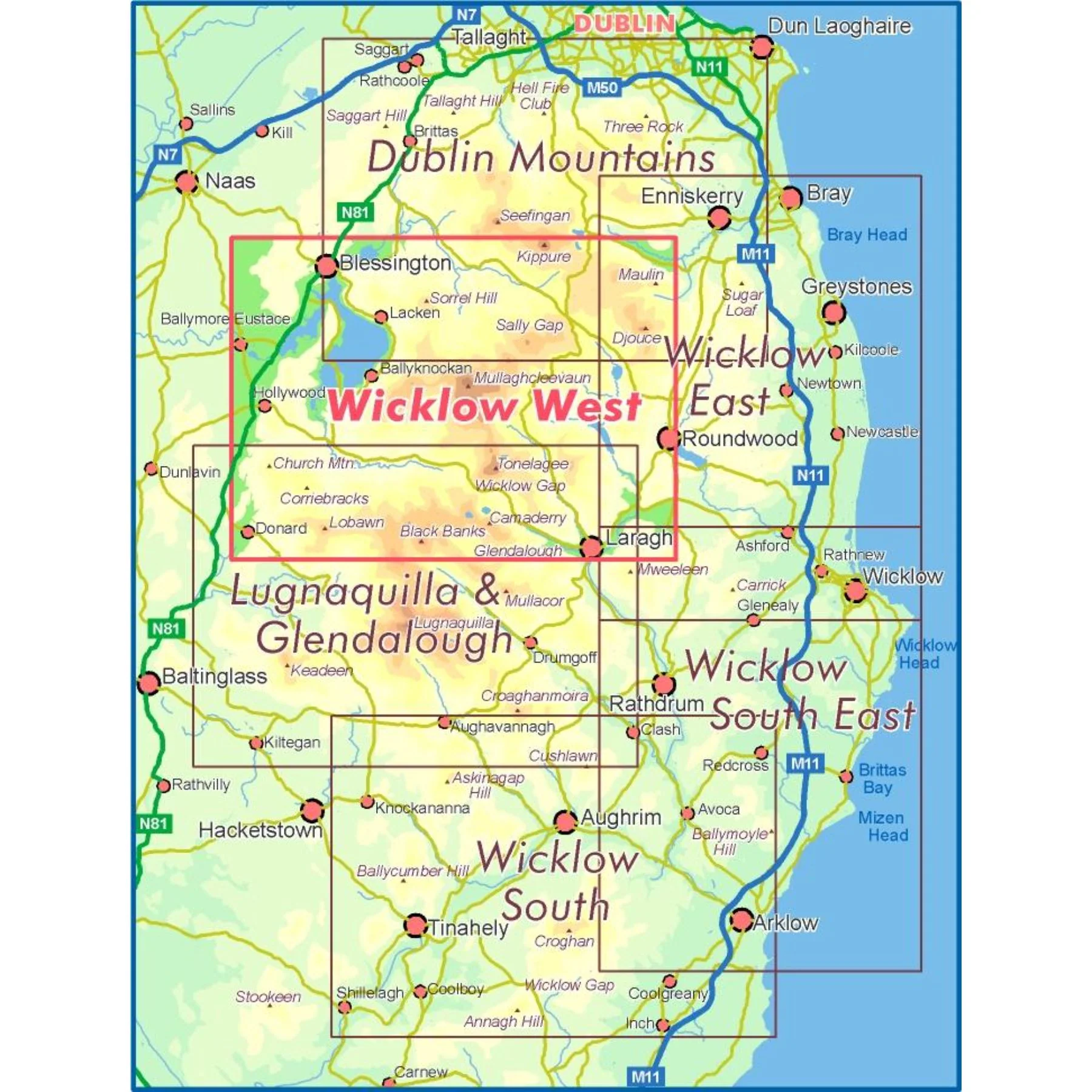
Definitive detailed map from our 25Series of Wicklow at 1:25,000 scale covering from Sally Gap to Wicklow Gaps and Hollywood to Roundwood. Covers the central spine of the Wicklow Mountains and Poulaphuca Reservoir. First published in 2010, this is a completely new and detailed map replacing the previous 1:30,000 scale maps. We have conducted considerable research into local sites & placenames and much information is recorded on this map. Printed on good quality Progeo 90gsm map paper, this map is encapsulated or laminated on both sides with a flexible laminate. It’s durable, waterproof and weatherproof. The map sheet measures 1125mm x 820mm, covering 550 sq kilometres and is folded down to 125mm x 205mm.
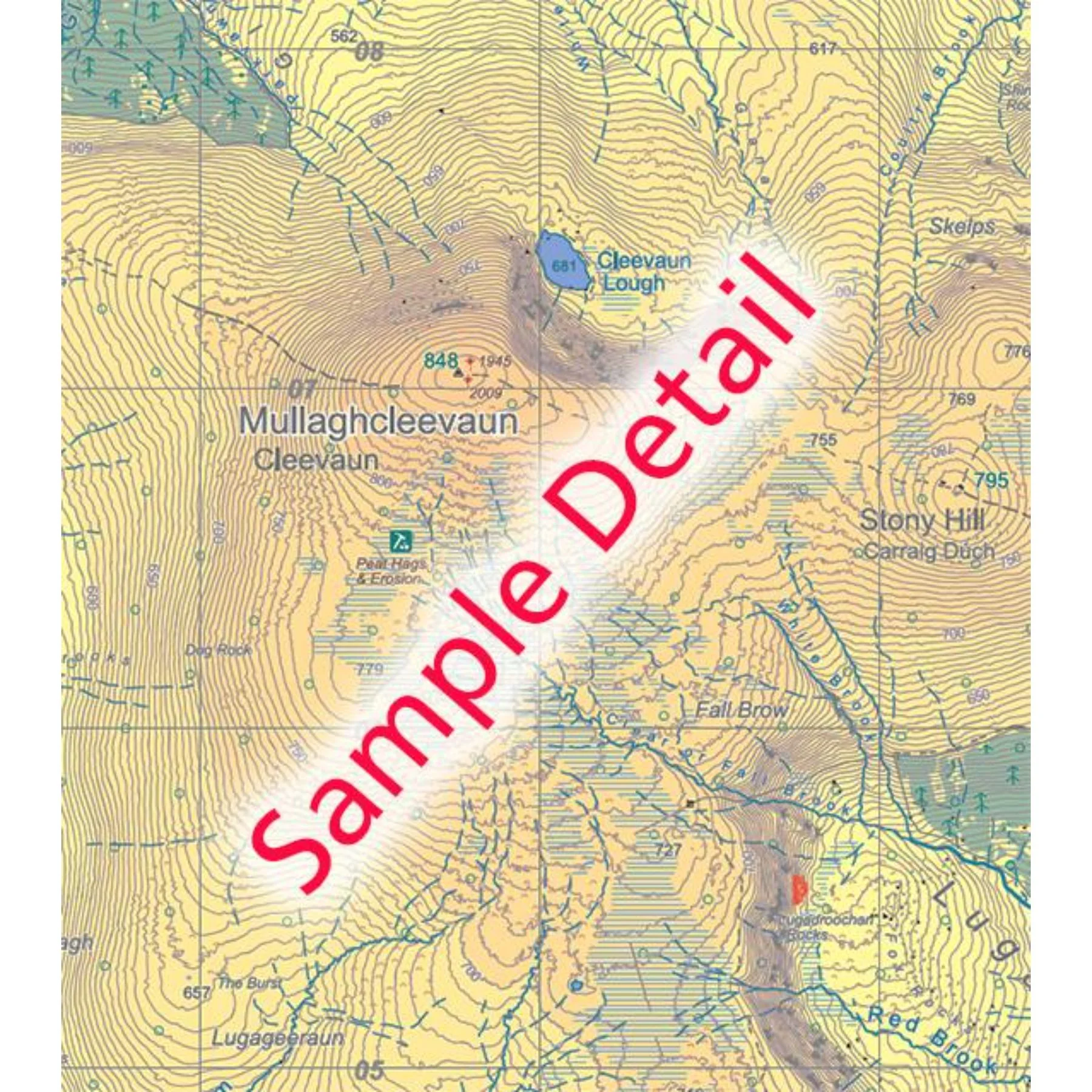
1:25,000 Scale : 1 centimetre on the map = 250 metres on the ground. Contour Interval : 5 metres.
Details & Craftsmanship
Every detail has been carefully considered to bring you the perfect product.
Details & Craftsmanship
Every detail has been carefully considered to bring you the perfect product.
Description
Definitive detailed map from our 25Series of Wicklow at 1:25,000 scale covering from Sally Gap to Wicklow Gaps and Hollywood to Roundwood. Covers the central spine of the Wicklow Mountains and Poulaphuca Reservoir. First published in 2010, this is a completely new and detailed map replacing the previous 1:30,000 scale maps. We have conducted considerable research into local sites & placenames and much information is recorded on this map. Printed on good quality Progeo 90gsm map paper, this map is encapsulated or laminated on both sides with a flexible laminate. It’s durable, waterproof and weatherproof. The map sheet measures 1125mm x 820mm, covering 550 sq kilometres and is folded down to 125mm x 205mm.
1:25,000 Scale : 1 centimetre on the map = 250 metres on the ground. Contour Interval : 5 metres.