The Story
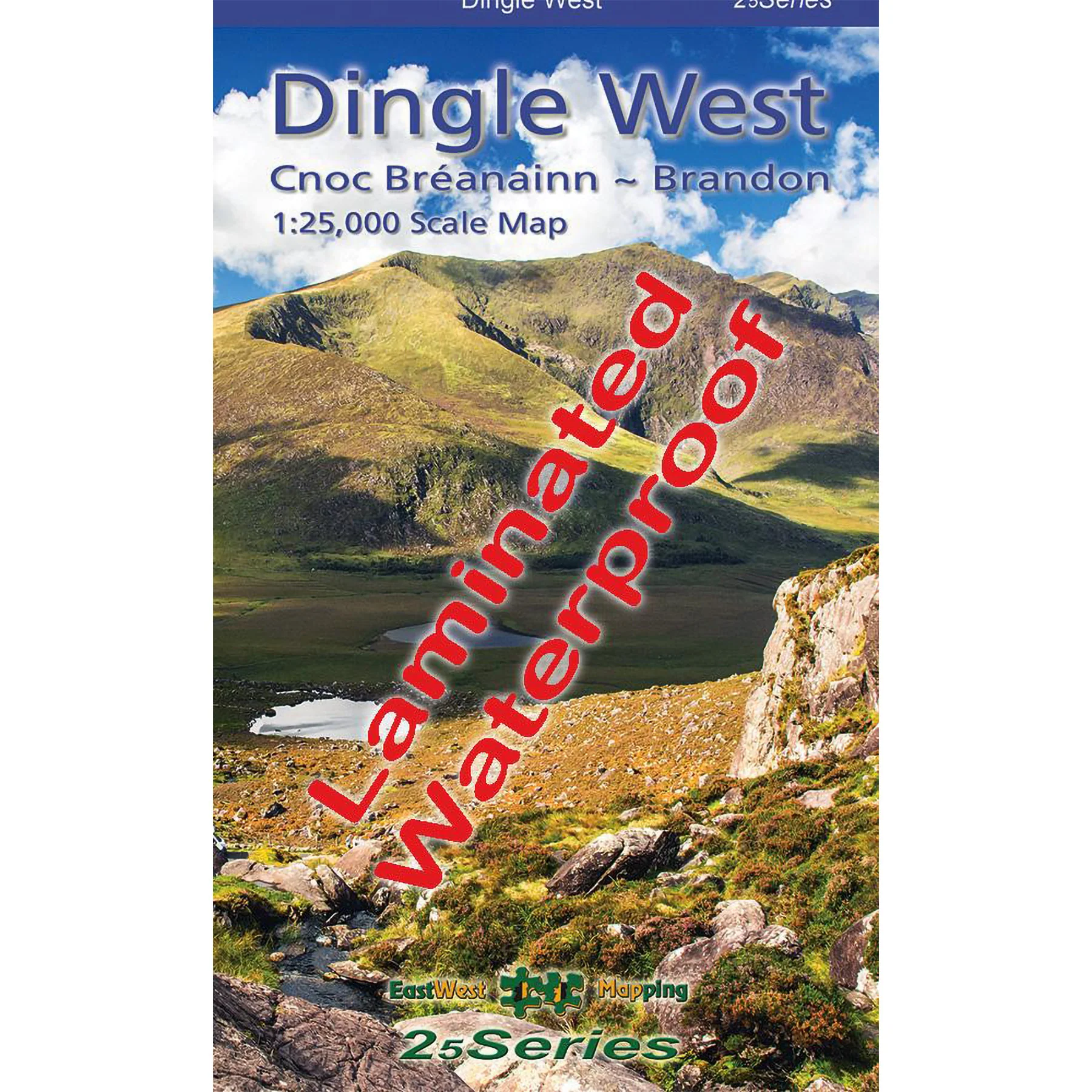
This highly detailed 1:25,000 scale map covers the western section of the Dingle Peninsula, from Dunquin to the Conor Pass, including Mount Brandon. Created to our 25Series specifications, it features a precise 5-metre contour interval for accurate navigation. The map displays signposted walking routes, numerous place names, and heritage landmarks. Printed on durable Progeo 90gsm paper, it measures 1125mm by 820mm when unfolded, covering 550 square kilometres, and folds down to a compact 125mm by 205mm. This laminated, waterproof edition ensures weather resistance and longevity. Published in 2023.
Description
This highly detailed 1:25,000 scale map covers the western section of the Dingle Peninsula, from Dunquin to the Conor Pass, including Mount Brandon. Created to our 25Series specifications, it features a precise 5-metre contour interval for accurate navigation. The map displays signposted walking routes, numerous place names, and heritage landmarks. Printed on durable Progeo 90gsm paper, it measures 1125mm by 820mm when unfolded, covering 550 square kilometres, and folds down to a compact 125mm by 205mm. This laminated, waterproof edition ensures weather resistance and longevity. Published in 2023.