Original: $18.58
-65%$18.58
$6.50The Story
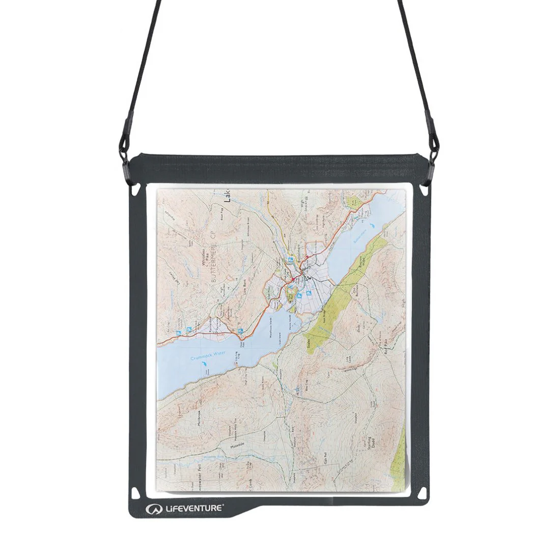
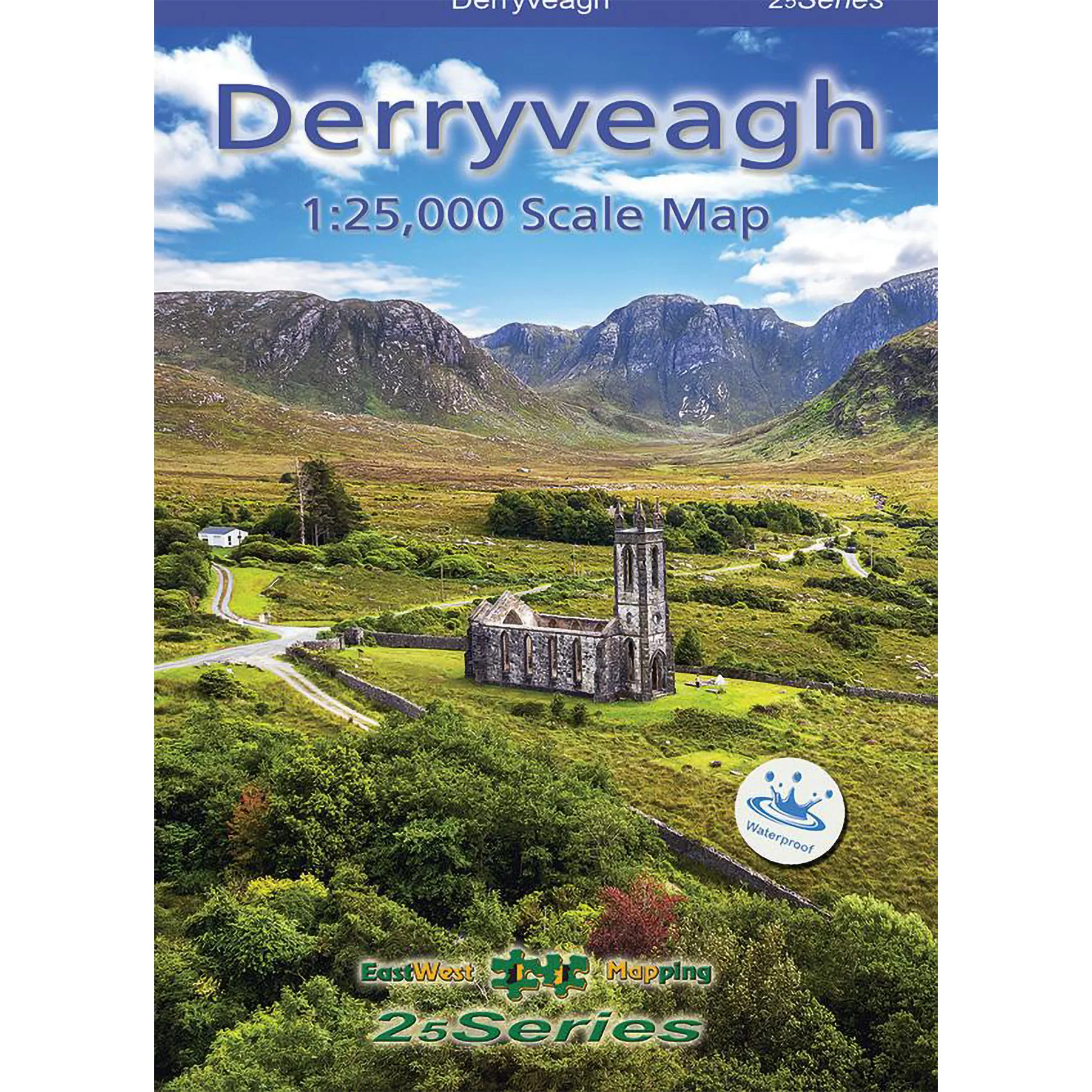
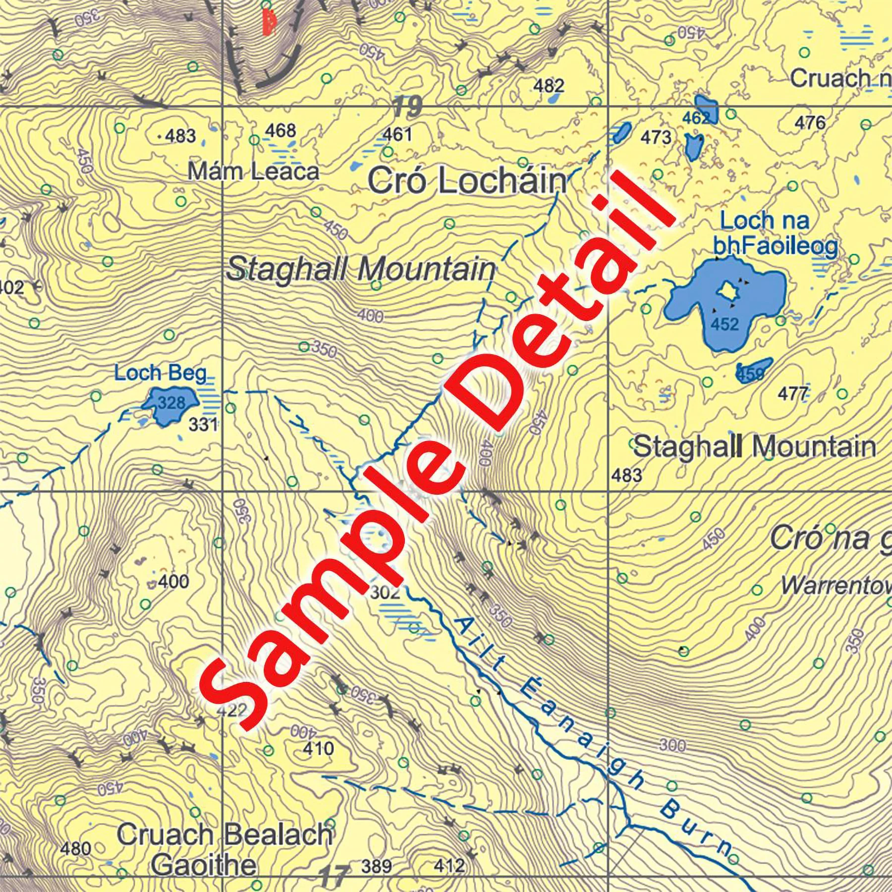
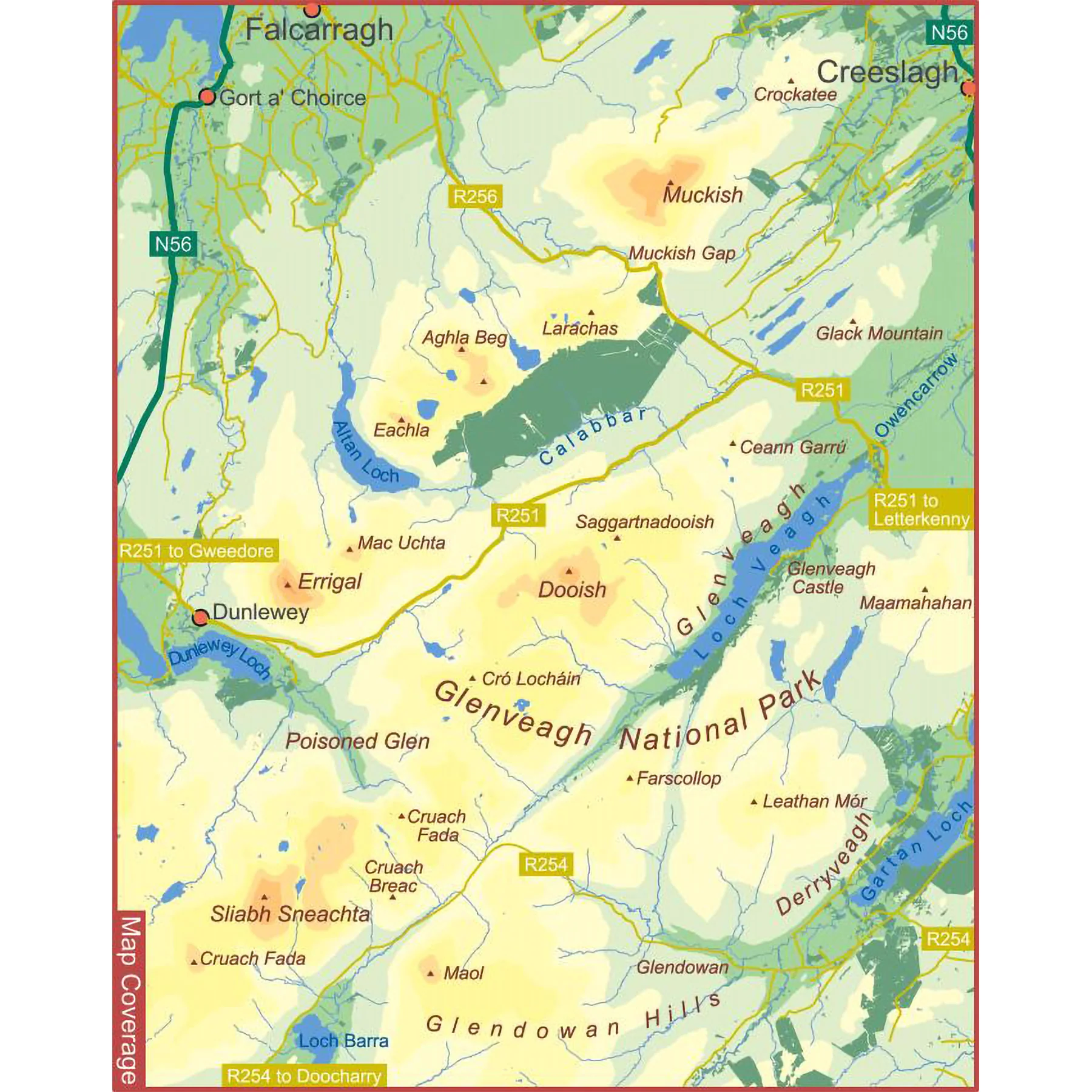
Definitive detailed map at 1:25,000 scale covering the Derryveagh Hills, Glenveagh National Park, Errigal & Muckish. A detailed map of these wonderful rugged mountains. Produced to our 25Series standard, this general topographic map has a 5 metre contour interval for fine navigation. Detailed topographic map with many local placenames recorded.
The map sheet measures 975mm x 680mm, covering 345 sq kilometres and is folded down to 170mm x 122mm. Waterproof map, printed on good quality Polyart 90gsm waterproof paper and supplied in a plastic pocket. Click on thumbnail images above to view sample detail and map coverage. Published 2025.
Details & Craftsmanship
Every detail has been carefully considered to bring you the perfect product.
Details & Craftsmanship
Every detail has been carefully considered to bring you the perfect product.
Description
Definitive detailed map at 1:25,000 scale covering the Derryveagh Hills, Glenveagh National Park, Errigal & Muckish. A detailed map of these wonderful rugged mountains. Produced to our 25Series standard, this general topographic map has a 5 metre contour interval for fine navigation. Detailed topographic map with many local placenames recorded.
The map sheet measures 975mm x 680mm, covering 345 sq kilometres and is folded down to 170mm x 122mm. Waterproof map, printed on good quality Polyart 90gsm waterproof paper and supplied in a plastic pocket. Click on thumbnail images above to view sample detail and map coverage. Published 2025.