Original: $27.87
-65%$27.87
$9.75The Story
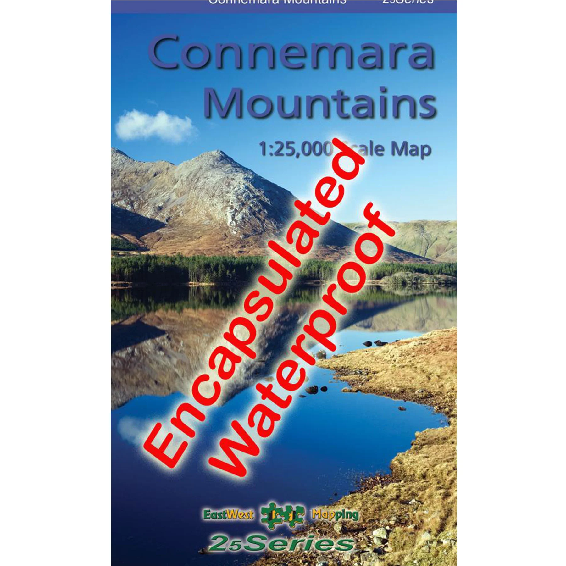
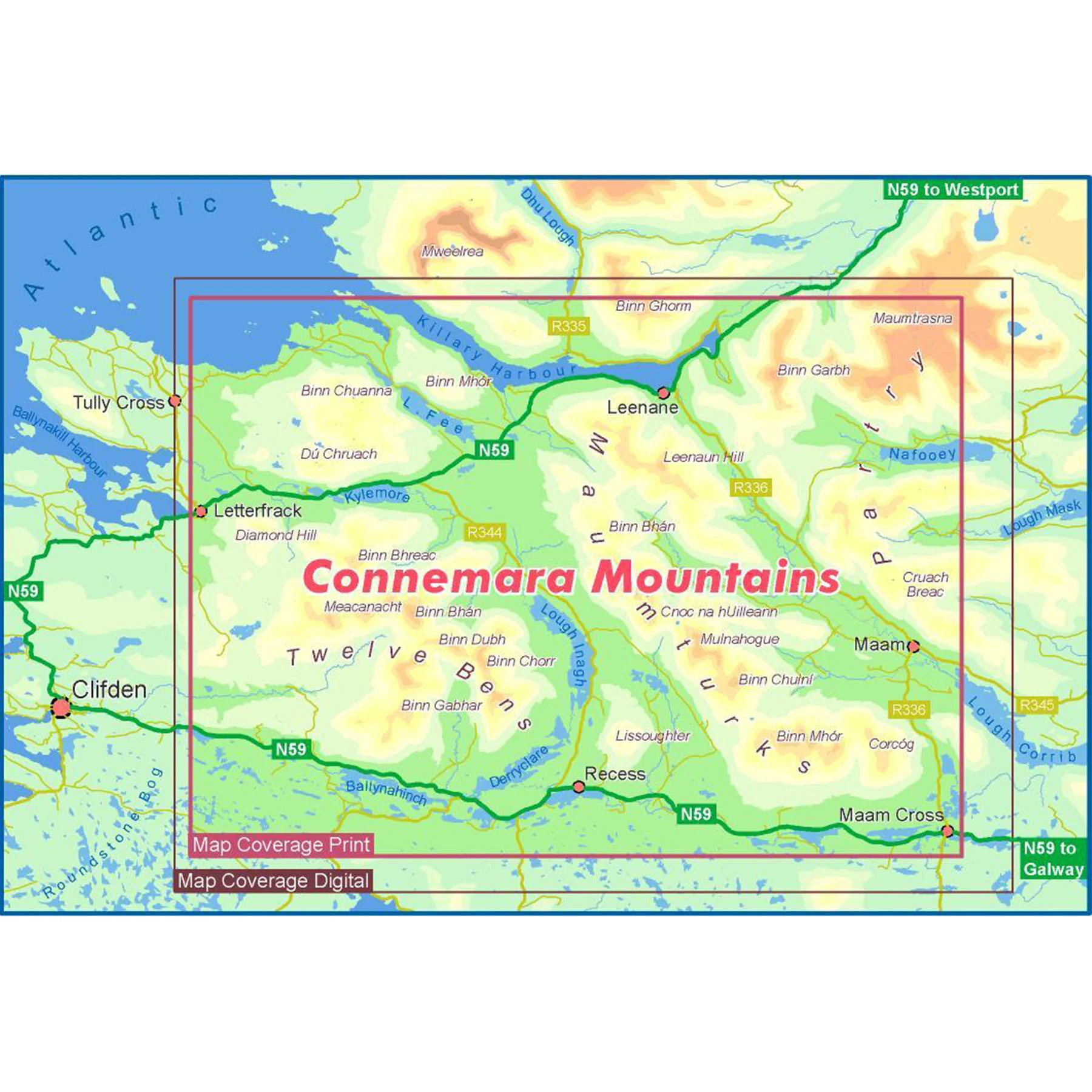
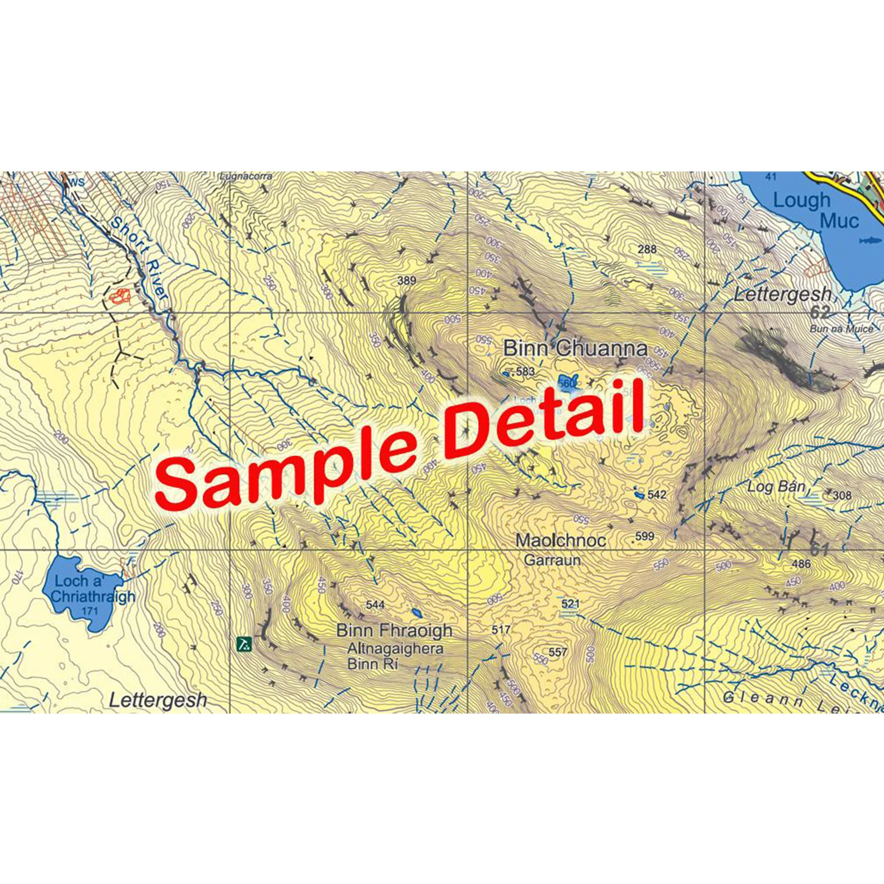
Definitive detailed map at 1:25,000 scale covering the Twelve Bens, Maumturk Mountains, Killary Harbour and region. Produced to our 25Series standard, this general topographic map has a 5 metre contour interval for fine navigation. Signposted walking trails are depicted. The finest and most detailed of several maps published of this popular region. Printed on good quality Progeo 90gsm map paper. The map sheet measures 1125mm x 820mm, covering 550 sq kilometres and is folded down to 125mm x 205mm. Surveyed & published 2020.
Details & Craftsmanship
Every detail has been carefully considered to bring you the perfect product.
Details & Craftsmanship
Every detail has been carefully considered to bring you the perfect product.
Description
Definitive detailed map at 1:25,000 scale covering the Twelve Bens, Maumturk Mountains, Killary Harbour and region. Produced to our 25Series standard, this general topographic map has a 5 metre contour interval for fine navigation. Signposted walking trails are depicted. The finest and most detailed of several maps published of this popular region. Printed on good quality Progeo 90gsm map paper. The map sheet measures 1125mm x 820mm, covering 550 sq kilometres and is folded down to 125mm x 205mm. Surveyed & published 2020.