Original: $17.42
-65%$17.42
$6.10The Story
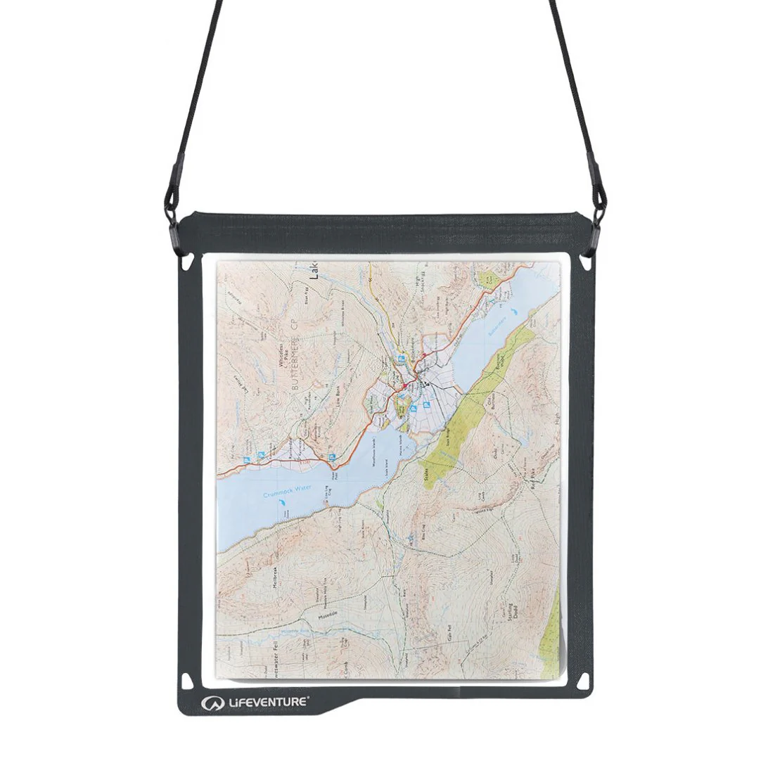
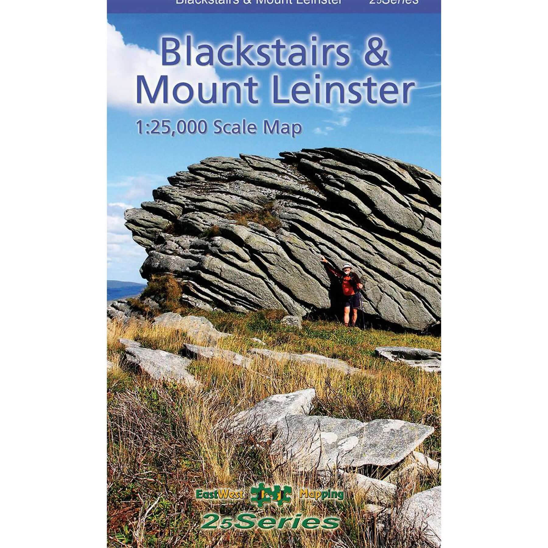
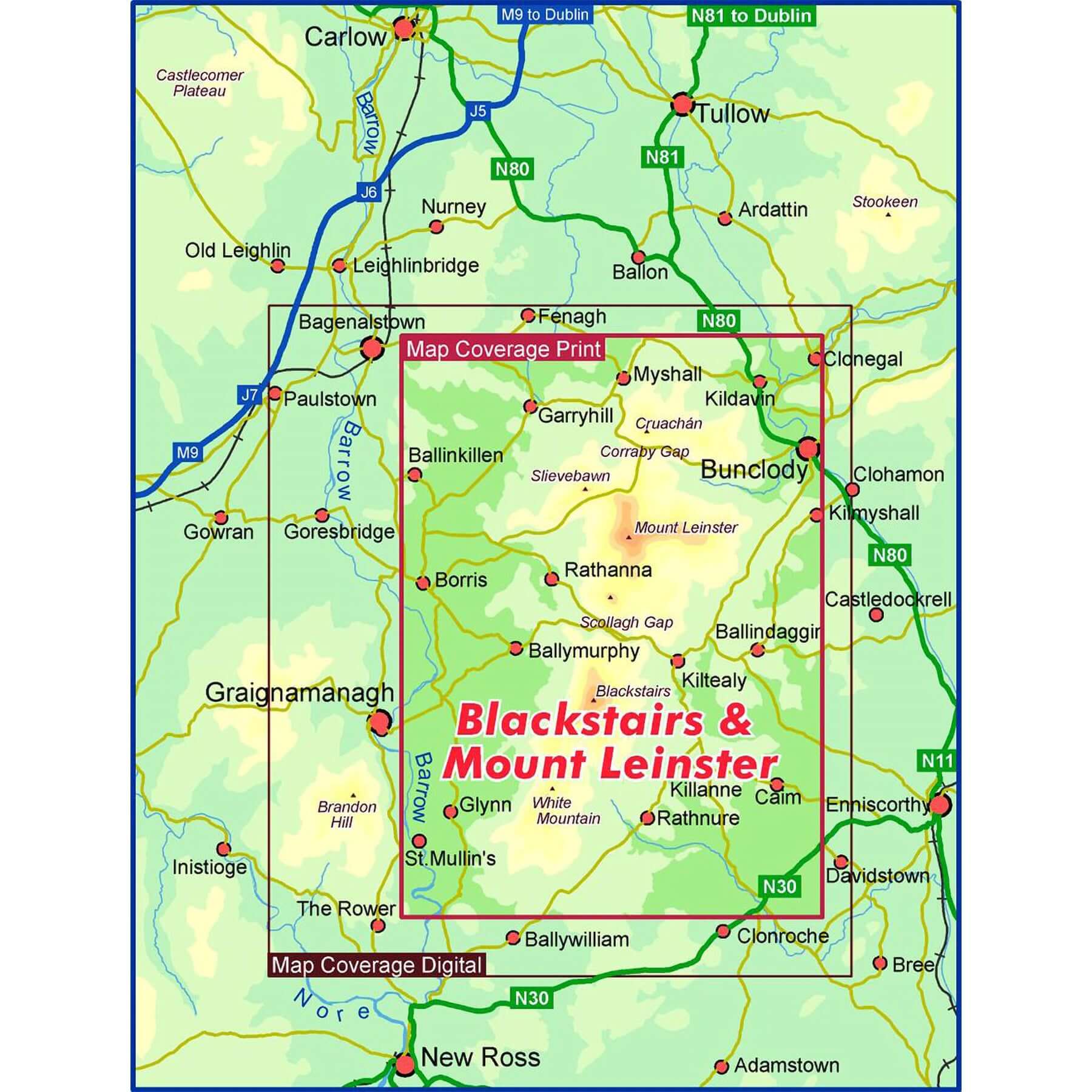
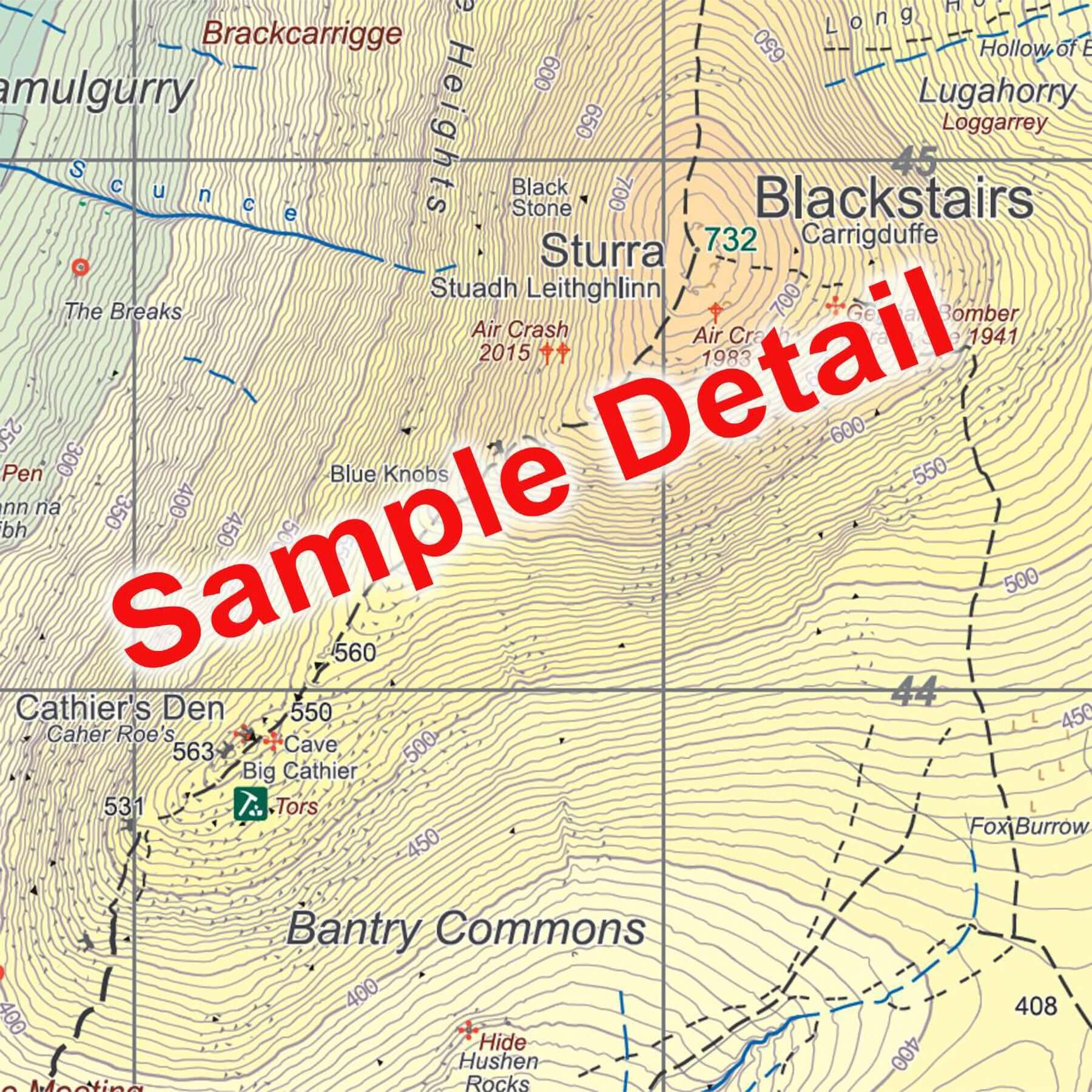
Definitive detailed map at 1:25,000 scale covering the Blackstairs & Mount Leinster range from Borris to Bunclody and Clonegal to St.Mullin’s. Produced to East West Mapping 25Series standard, this general topographic map has a 5 metre contour interval for fine navigation. Signposted walking trails are depicted. The finest and most detailed map of the region, first published in 2013 but this is a complete new version. Printed on good quality Progeo 90gsm map paper. The map sheet measures 1125mm x 820mm, covering 550 sq kilometres and is folded down to 125mm x 205mm. Read care instructions in FAQ. Click on thumbnail images above to view sample detail and map coverage.
Surveyed & published 2023-2024.
Details & Craftsmanship
Every detail has been carefully considered to bring you the perfect product.
Details & Craftsmanship
Every detail has been carefully considered to bring you the perfect product.
Description
Definitive detailed map at 1:25,000 scale covering the Blackstairs & Mount Leinster range from Borris to Bunclody and Clonegal to St.Mullin’s. Produced to East West Mapping 25Series standard, this general topographic map has a 5 metre contour interval for fine navigation. Signposted walking trails are depicted. The finest and most detailed map of the region, first published in 2013 but this is a complete new version. Printed on good quality Progeo 90gsm map paper. The map sheet measures 1125mm x 820mm, covering 550 sq kilometres and is folded down to 125mm x 205mm. Read care instructions in FAQ. Click on thumbnail images above to view sample detail and map coverage.
Surveyed & published 2023-2024.